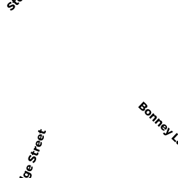
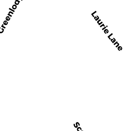
25 LAURIE LN
Owner Information
ANZALDI GREGORY ETAL
25 LAURIE LN
DEDHAM, MA 02026


Property Details
25 LAURIE LN is classified as a Single Family Residential (Raised ranch).
The primary structure on this property was built in 1962. There are 3,336ft2 of built area within this property. There is 1,404ft2 of residential/living space within this property. This property is listed as having 7 rooms.
25 LAURIE LN is valued at $552,500. The land is valued at $293,700 and the structures are valued at $253,600. There is an additional valuation of $5,200 on this property.
This property is in Zone B. Confirm with local Zoning Board authorities to ensure there are no overlays or other easements on this property.
The most recent deed for 25 LAURIE LN is recorded at the local registrar in Book 28717, Page 485. 25 LAURIE LN was last sold on Wednesday, April 6, 2011 for $370,000.
Assessment data from fiscal year 2020.
Flood Data
According to the FEMA National Flood Hazard Layer, this property does not appear to be in a flood zone. It may also be in an area not yet reviewed. Nonetheless, confirm this information prior to taking any action.
To view the flood hazards around this property, create a FEMA "Firmette" Map of the area around 25 LAURIE LN.
Broadband Internet Providers
| Provider | Type | Bandwidth (mbps) | |
|---|---|---|---|
| RCN | Cable | 500 | 20 |
| VSAT Systems, LLC. | Satellite | 2 | 1 |
| HughesNet | Satellite | 25 | 3 |
| GCI Communication Corp. | Satellite | 0 | 0 |
| RCN | Cable | 1000 | 20 |
| Comcast | Cable | 1000 | 35 |
| Verizon New England Inc. | Fiber | 940 | 880 |
| Verizon New England Inc. | DSL | 1 | 0 |
| Viasat Inc | Satellite | 100 | 3 |
| Crown Castle Fiber | Fiber | 0 | 0 |
Broadband service provider data from December 2020.
Adjacent Properties
- 170 GREENLODGE ST
Single Family Residential owned by RENEHAN RICHARD W JR ETUX - 178 GREENLODGE ST
Single Family Residential owned by FOLEY BARTLEY J JR ETUX - 11 BONNEY LN
Single Family Residential owned by FEELEY MICHAEL R ETUX - 23 BONNEY LN
Single Family Residential owned by FOSTER JUSTIN A ETUX - 31 BONNEY LN
Single Family Residential owned by MCKENNA SHAUN ETUX - 19 LAURIE LN
Single Family Residential owned by KUMAR PUNAM ETALS - 190 GREENLODGE ST
Single Family Residential owned by WOODS ANDREA H - 26 LAURIE LN
Single Family Residential owned by ABRUZZESE GIUSEPPE ETUX